Belize and its People
|
The country of Belize occupies the South Eastern corner of the Yucatan Peninsula, directly South of Mexico, with Guatemala on its Western border, and Honduras on the Southern border. To the East is the Carribean sea, which is the big magnet drawing tourists to the country. The photograph below shows Belize City, the largest city, a fairly sleepy and somewhat seedy place which used to be the capital city before the government moved inland to avoid hurricanes. |
 |
|
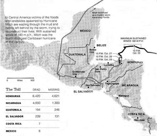
And there are hurricanes! I had been planning for about a year to visit Belize, attracted by the prospect of great underwater life, bird life and Maya ruins. But then hurricane Mitch put in an appearance, sweeping through Florida and then Westward straight towards Belize. I started looking for somewhere less devastated to go, then a few weeks later I heard that maybe things weren't as bad as I thought. I found an internet site showing an hour-by-hour map of the eye of the hurricane. Sure enough, Mitch headed in a straight line for several hundred miles towards Belize - then two hundred miles from landfall it took an abrupt left turn and headed directly South. Belize's gain was the rest of Central America's loss, as Mitch caused enormous damage and loss of life in Honduras and Nicaragua, before weakening and heading West of Belize through Guatemala, then looping North of Belize through Mexico before heading directly East and hitting Florida for a second time! It dropped between 40 and 60 inches (100 to 150 cm) of rain on Honduras, twice the yearly average in the USA. It's estimated that Honduras will take 15 years to recover, including rebuilding 220 bridges which were destroyed. |
 |
 |
About the only damage Belize suffered was to the piers on the beaches (as well as coral damage in some areas, although the barrier reef kept this from being severe). I did actually get trapped by rough weather on Halfmoon Caye, but it wasn't because of hurricane Mitch, it was one of the dreaded "Northers". But it turned an overnight trip into a two day trip, and although the first day of the trip was in bright sunshine, we had to plough through 10 foot waves for about three hours to get there, and the same again on the way back. |


|
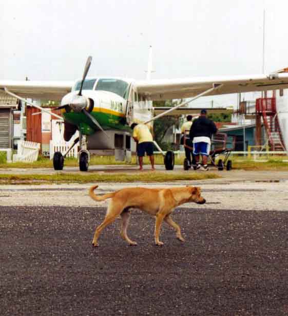
You can go between Belize City and San Pedro by boat, but most people make the 15 or 20 minute hop by plane. And this way, you get to see the pilot's tattoos! |
 |
|
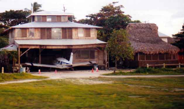
Well, Dorothy, you know you're not in Kansas when you see the thatched roof and the plane in the garage! |
 |
|
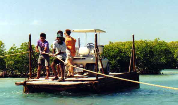
But then, San Pedro is that kinda place! What else can you say when the main tourist town in the country has sand streets and the main means of transport are golf carts? |
 |
|
 |
 |
|
|
 |
|
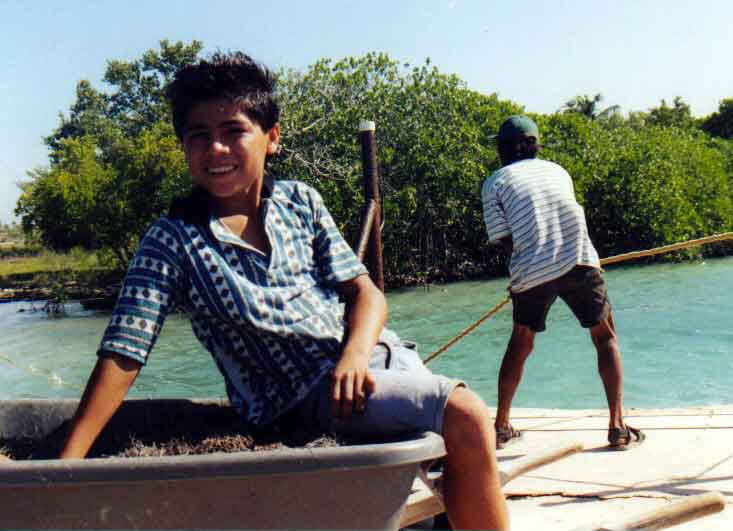
I had uniformly pleasant experiences with all the locals I met, both those involved in the tourist industry and others. Unfortunately, things aren't always as good on the mainland. Thefts and some violence occur in places like Belize city and Orange Walk. Much of this is linked to the drug trade, but there are also occasional incursions of bandits from Guatemala on the road between Guatemala and Belize city. |
 |
|
But it's hard to be gloomy for long when there are such nice things outside your hotel window! Sand, sun, blue sky, crystal waters, palm trees and that white line on the water - the barrier reef! |
 |