Highlights of Hiroshima
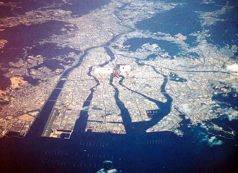
I was pretty determined when I was in Japan to visit either Hiroshima or Nagasaki, because I've always had a strong interest in World War Two history and I've got a particular fascination with the power of military technology. Because it's nearer to Tokyo, I opted for Hiroshima, and this was probably the more interesting of the two anyway. The destruction inflicted on Hiroshima was certainly greater, because of its flat geography, whereas Nagasaki is spread over several valleys, only one of which was directly affected by the detonation of the bomb. The two small white labels in the center of this photograph of modern Hiroshima mark the location of the Peace Park (left) and the actual location or "hypocenter" of the explosion (right). The Atomic Bomb Dome, the building which has become the symbol of the bombing, is about 100 meters beyond the hypocenter in this photograph. |
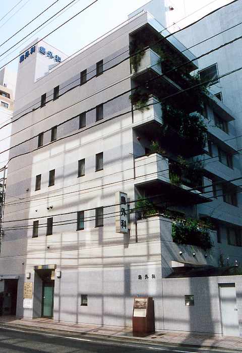
The small building actually at the hypocenter didn't survive the blast, but this apartment block has been built at the same location, which is commemorated by the brown marker on the sidewalk. The island directly across the river from the Atomic Dome is the location of the Peace Park, with the Peace Museum at its southern end. The museum has graphic displays, photographs and descriptions of the damage to the city, artifacts which illustrate the power of the explosion, as well as very candid, insightful and balanced descriptions of the events leading up to Japan's involvement in World War 2 and the atomic bombing. Hiroshima isn't all doom and gloom and obsession with the bombing. Just offshore, past the oyster farms which appear like little nail clippings in the photo at the top of the page, is the island of Miya-jima, which boasts the Floating Torii, rated as one of Japan's "Three Best Sights", and the gateway to a shinto shrine which sits on poles over the water. |